Home
Public Notice - System Upgrade & Temporary Closure
Otero County Clerk & Recorder- DMV System Upgrade & Temporary Office Closures
The Otero County Clerk & Recorder's Office will undergo a significant upgrade to the State's motor vehicle system as the Colorado Department of Motor Vehicles transitions to the new DRIVES Core 21 platform on February 17, 2026. This upgrade will require temporary adjustments to office hours and services.
Please note the following schedule changes:
- Friday, February 13, 2026
The Clerk & Recorder's Office will close at 2:00 PM to allow staff to shut down
systems and complete required end-of-day balancing before the upgrade. - Monday, February 16, 2026
The office will be closed in observance of Presidents' Day. - Tuesday & Wednesday, February 17-18, 2026
The office will be closed to the public. These days are designated by the State for
staff to train on and become familiar with the new DRIVES Core 21 system. - Thursday & Friday, February 19-20, 2026
The office will be open by appointment only for motor vehicle titles and registration renewals. - To schedule an appointment, please call 719-383-3020
The Clerk & Recorder's Office appreciates the community's patience and understanding as this important system upgrade is completed. Additional information will be posted to the Otero County website as it becomes available.
Recent News
The Board of Health Meeting scheduled for Tuesday, January 27, 2026, has been cancelled.
Refer to the 1/26/2026 Agenda for work sessions in Room 212 and Public Hearing in Room 107.
Exploring Otero County, Colorado
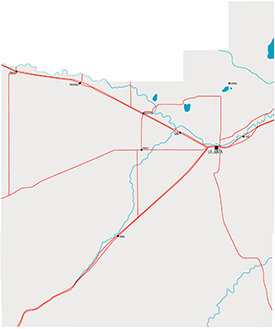
Otero County is located in southeastern Colorado and covers 1,270 square miles of rolling plains and the fertile Arkansas River valley. It is bordered by Pueblo County to the west, Crowley and Kiowa Counties to the north, Bent County to the east, and Las Animas County to the south and southwest.
 The county is named for Miguel Otero, the nineteenth-century New Mexican politician who helped found the county seat of La Junta. The La Junta and Rocky Ford areas are known for producing high-quality cantaloupe and watermelons. Areas of natural and historic significance include the Comanche National Grassland, the Purgatoire River dinosaur track site, the Koshare Indian Museum at Otero College, and the Bent’s Fort National Historic Site.
Accessibility at Otero County
Otero County is committed to maintaining an accessible and user-friendly website. We strive to meet Web Content Accessibility Guidelines (WCAG) 2.1, level AA standards and regularly evaluate our site for improvements as technology evolves. While some features, such as mapping data, may not yet be fully accessible, we continue working toward solutions. If you experience issues accessing information, please contact the Commissioners' Office at (719) 383-3000 for assistance. We welcome your feedback and suggestions through the Contact Us page or by phone as we work to make our website more accessible for everyone.
There's a Lot Happening Here
Upcoming Events
Tuesday, February 17, 2026, 6pm
Monday, February 23, 2026, 1:30pm
Monday, March 9, 2026, 1:30pm
