
Geographic Information Systems (GIS)
The GIS Department
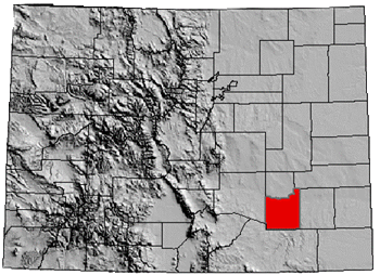
The Geographic Information Systems (GIS) Department provides cartography and the development and maintenance of electronic mapping services for Otero County Departments and the public we serve.
Maps are produced from the best available digital records. Accuracy is not guaranteed and no other warranty or guarantee is implied or given. All maps are a product of Otero County and must be identified as such. Sales or redistribution of any data is not permitted without a separate agreement with Otero County.
Helpful Links
Otero County Mapper - GIS
Stephen Lange - Otero County Mapper/GIS
13 W 3rd St., Rm. 211
La Junta, CO 81050
Phone: (719) 383-3013
Fax: (719) 383-3019
